Файл:Fonseca gulf.jpg

Размер этого предпросмотра: 615 × 600 пкс. Другие разрешения: 246 × 240 пкс | 492 × 480 пкс | 640 × 624 пкс.
Исходный файл (640 × 624 пкс, размер файла: 109 Кб, MIME-тип: image/jpeg)
Этот файл находится на Викискладе. Сведения о нём показаны ниже.
Викисклад — централизованное хранилище для свободных файлов, используемых в проектах Викимедиа.
|
Краткое описание
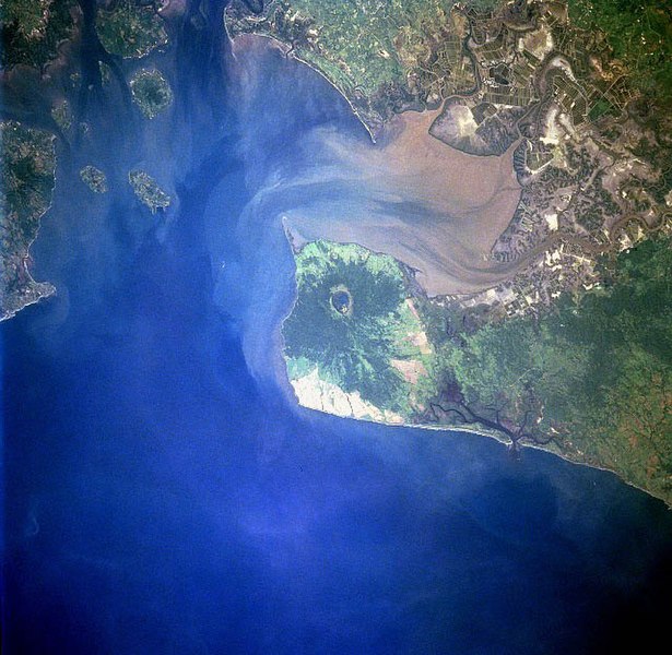
| Описание |
Gulf of Fonseca, El Salvador, Honduras, Nicaragua |
| Дата | |
| Источник | eol.jsc.nasa.gov |
| Автор | NASA |
| Другие версии |
.jpg)
Лицензирование
| Этот файл находится в общественном достоянии (англ. public domain), так как он был создан NASA (Национальным управлением по аэронавтике и исследованию космического пространства). Политика авторского права NASA гласит, что «Материал NASA не защищается авторским правом, если не указано иное». (См. Template:PD-USGov, страницу политики авторского права NASA или политику использования изображений JPL.) | ||
 |
Предупреждения:
|
История файла
Нажмите на дату/время, чтобы посмотреть файл, который был загружен в тот момент.
| Дата/время | Миниатюра | Размеры | Участник | Примечание | |
|---|---|---|---|---|---|
| текущий | 09:40, 22 ноября 2022 | | 640 × 624 (109 Кб) | SteinsplitterBot | Bot: Image rotated by 270° |
| 04:10, 10 декабря 2005 |  | 631 × 640 (110 Кб) | Thuresson | Gulf of Fonseca, El Salvador, Honduras, Nicaragua - July 1997 *Image courtesy of the Image Science & Analysis Laboratory, NASA Johnson Space Center. *Source: [http://eol.jsc.nasa.gov/sseop/EFS/photoinfo.pl?PHOTO=STS094-723-83 eol.jsc.nasa.gov] *Photo #: |
Использование файла
Следующая страница использует этот файл:
Глобальное использование файла
Данный файл используется в следующих вики:
- Использование в de.wikipedia.org
- Использование в el.wikipedia.org
- Использование в en.wikipedia.org
- Использование в eo.wikipedia.org
- Использование в es.wikipedia.org
- Использование в fr.wikipedia.org
- Использование в gl.wikipedia.org
- Использование в it.wikipedia.org
- Использование в ja.wikipedia.org
- Использование в lt.wikipedia.org
- Использование в nl.wikipedia.org
- Использование в pl.wikipedia.org
- Использование в pt.wikipedia.org
- Использование в sk.wikipedia.org
- Использование в uk.wikipedia.org
- Использование в www.wikidata.org