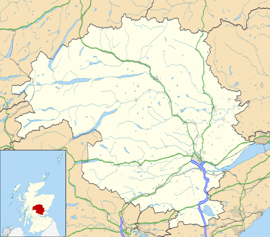
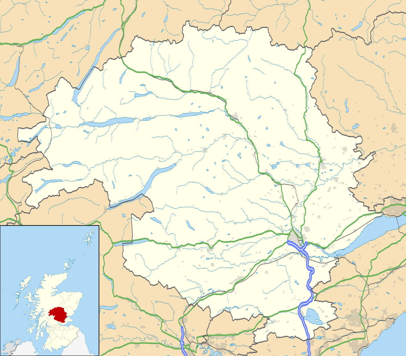
Файл:Perth and Kinross UK location map.svg

Размер этого PNG-превью для исходного SVG-файла: 685 × 600 пкс. Другие разрешения: 274 × 240 пкс | 548 × 480 пкс | 877 × 768 пкс | 1169 × 1024 пкс | 2339 × 2048 пкс | 1425 × 1248 пкс.
Исходный файл (SVG-файл, номинально 1425 × 1248 пкс, размер файла: 1,71 Мб)
Этот файл находится на Викискладе. Сведения о нём показаны ниже.
Викисклад — централизованное хранилище для свободных файлов, используемых в проектах Викимедиа.
|
Royal infirmary
| Описание |
Blank map of Perth and Kinross, UK with the following information shown:
Equirectangular map projection on WGS 84 datum, with N/S stretched 180% Geographic limits:
|
| Дата | |
| Источник |
|
| Автор | Nilfanion, created using Ordnance Survey data |
| Права (Повторное использование этого файла) |
Этот файл доступен по лицензии Creative Commons Attribution-Share Alike 3.0 Unported. Атрибуция: Contains Ordnance Survey data © Crown copyright and database right
|
| Другие версии | File:Perth and Kinross UK blank map.svg - Blank map |
История файла
Нажмите на дату/время, чтобы посмотреть файл, который был загружен в тот момент.
| Дата/время | Миниатюра | Размеры | Участник | Примечание | |
|---|---|---|---|---|---|
| текущий | 20:21, 26 сентября 2010 | | 1425 × 1248 (1,71 Мб) | Nilfanion | {{Information |Description=Blank map of Perth and Kinross, UK with the following information shown: *Administrative borders *Coastline, lakes and rivers *Roads and railways *Urban areas Equirectangular map projection on WGS 84 dat |
Использование файла
Следующие 10 страниц используют этот файл:
Глобальное использование файла
Данный файл используется в следующих вики:
- Использование в ar.wikipedia.org
- Использование в ba.wikipedia.org
- Использование в bg.wikipedia.org
- Использование в ceb.wikipedia.org
- Использование в de.wikipedia.org
- Использование в en.wikipedia.org
- Perth, Scotland
- List of monastic houses in Scotland
- Perth and Kinross
- Crieff
- Auchterarder
- Pitlochry
- Kinross
- Blairgowrie and Rattray
- Blair Atholl
- Inchtuthil
- Blair Castle
- Dunning, Perth and Kinross
- Milnathort
- Abernethy, Perth and Kinross
- Coupar Angus
- McDiarmid Park
- Aberfeldy, Perth and Kinross
- Scone Palace
- Broxden Junction
- Errol, Perth and Kinross
- Huntingtower and Ruthvenfield
- Comrie, Perth and Kinross
- Ardoch Roman Fort
- Kenmore, Perth and Kinross
- Abbots Deuglie
- Aberargie
- Abercairny
- Aberdalgie
- Abernyte
- Aberuthven
- Achalader
- Acharn, Perth and Kinross
- Achnafauld
- Airntully
- St Fillans
- Battle of Two Rivers
- Blackford, Perth and Kinross
- Dunkeld
- Killiecrankie
- Fortingall Yew
Просмотреть глобальное использование этого файла.